Bosnia 1991 municipalities
Tags:
#Data
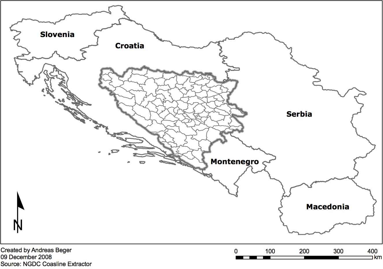
Figure 1:
Bosnia with 1995 municipalities
This dates back to work I did in 2008, but some people seem to find it useful:
At the beginning of the Yugoslav civil wars, Bosnia and Herzegovina (BiH) consisted of 109 municipalities. Finding free geographic layers with those municipal boundaries was difficult so I recreated them from National Geophysical Data Center Coastline Extractor, using World Data Bank II. Municipality names and demographic information come from the 1991 Yugoslav census courtesy wikipedia. This zipped folder contains both the ArcMap shapefiles as well as a copy of the working paper that describes in further detail how the boundary shapefiles were created, data sources, etc.